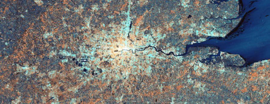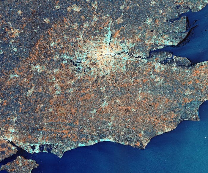

London shines, underneath the radar. In this awesome image created by the European Space Agency you can make out in great detail London’s most densely populated areas in the brighter whites and yellows, through to the unpopulated (obviously) waters of the Thames Estuary and English Channel.


The sciencey stuff
The image was composed by gathering radar reflections using the Interferometric Wide Swath mode of the ESA’s Sentinel-1A satellite. The colours are generated by the polarisation in the radar readings.