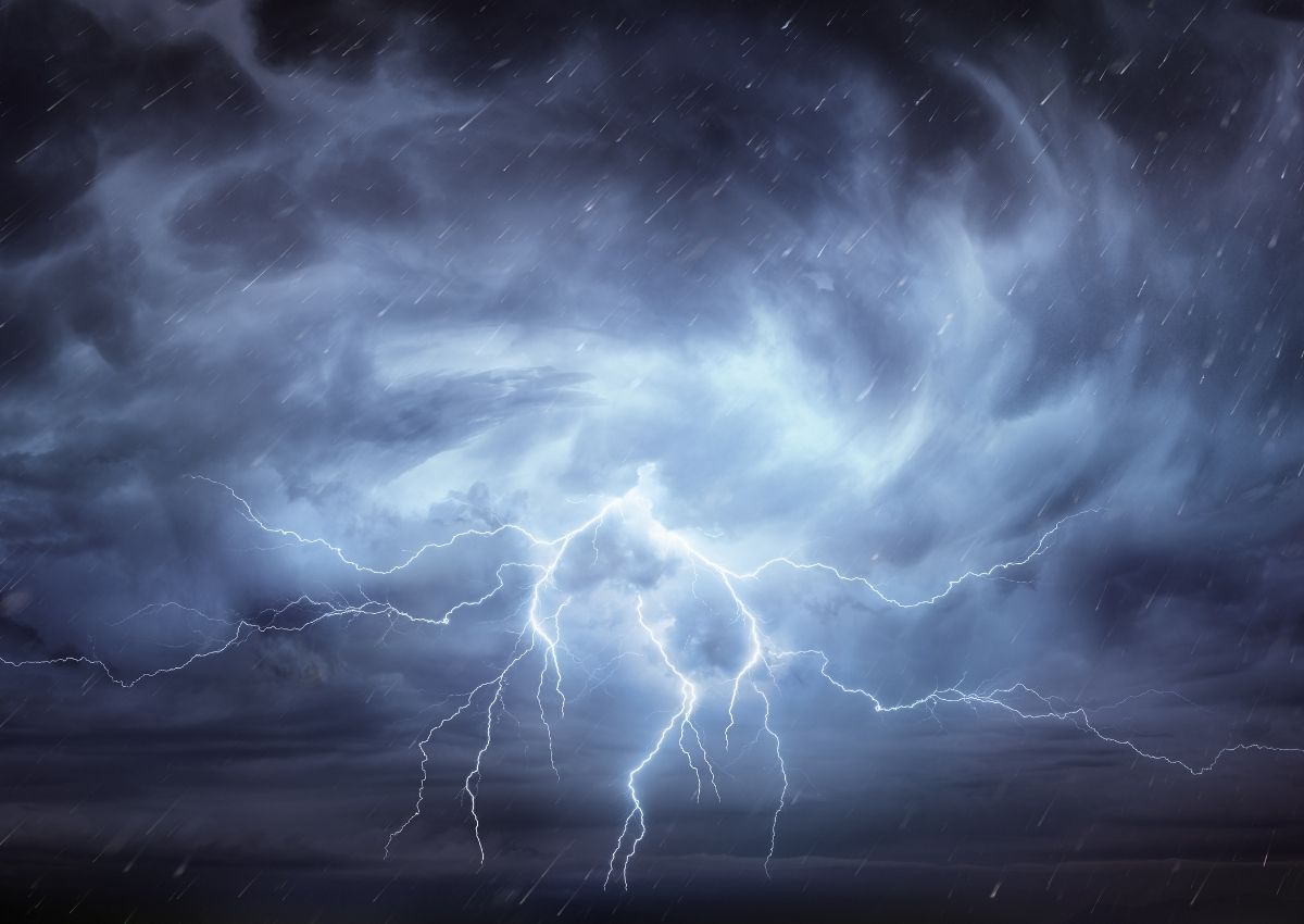
According to the BoM, severe thunderstorms are taking place through warm and humid airmass residing over south-eastern districts.
With the increasing activity of tornados in Queensland, thunderstorms are said to be continuing right through Thursday.
Apart from this, a combination of above-average temperatures, dry air, and fresh west-to-southwesterly winds are producing severe fire danger conditions across the Central Highlands and Coalfields district.
At this point, dangerous weather is expected to be all around Queensland with warnings of fires breaking through. This heatwave is expected to peak around Wednesday.
Since the weather has remained somewhat unsettling over the past few days, the weather could remain a little wet for several days.
Tornado spotting
A resident from Bracewell reported seeing a tornado for a brief moment before it vanished up into the sky again.
“We get some really good thunderstorms here in the summertime [but] I have not seen anything like that,” she said.
While dangers of fires breaking out are expected, The BoM reported golf-sized hail in central Queensland this morning which might indicate that the cold weather is here to stay for a longer period of time.
This means “We’ll likely see those showers and storms continuing overnight and into tomorrow.”
Keep an eye on the daily weather forecasts to stay safe, here.


